
El Nino: 100,000 Households Face Possible Flooding in Nairobi
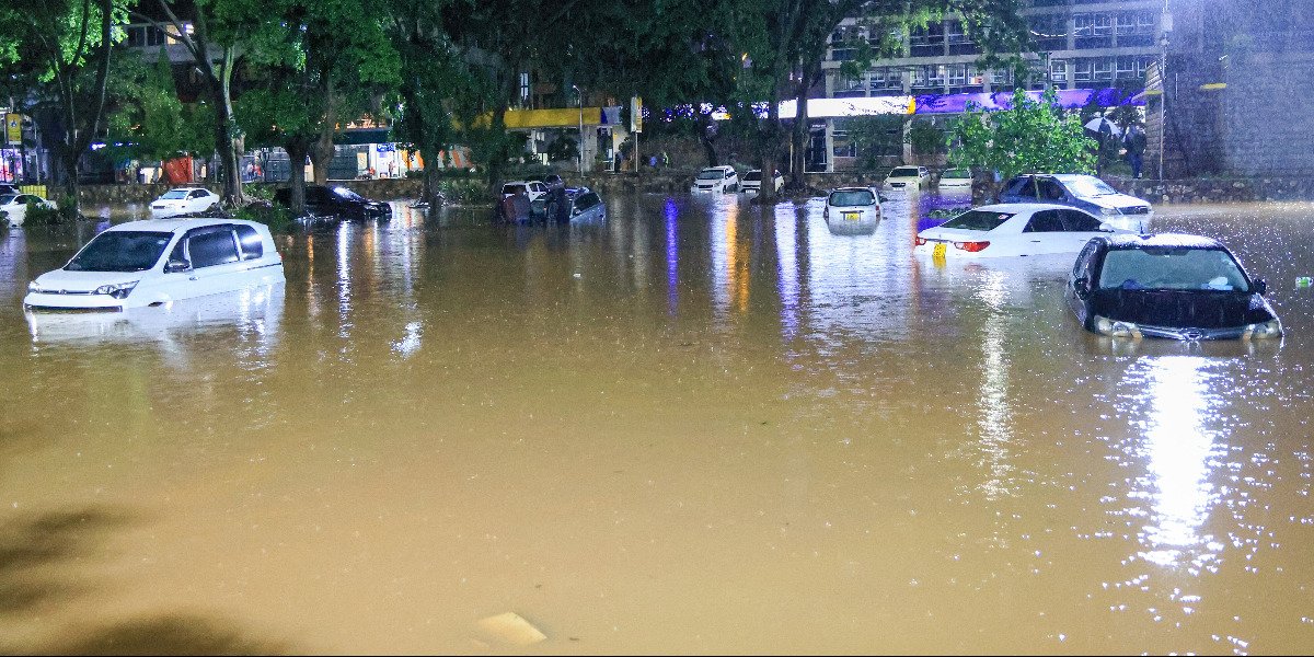
Nairobi has identified 246 areas at risk of flooding as the county prepares for the October–December short rains, which are forecast to be wetter than normal.
The Kenya Meteorological Service expects above-average rainfall across much of the country, increasing the risk of flooding in Nairobi. Disaster management teams have mapped flood-prone areas across the county, including Mukuru, Pipeline, Imara Daima and Kware, as well as parts of Kibra and Lang’ata near Nairobi Dam.
Industrial areas and estates in Waithaka, Gatina and Waruku have also been identified as vulnerable. Several major roads, including Uhuru Highway, Jogoo Road, Kangundo Road and Thika Road, are expected to experience flooding, while parts of Westlands and the Nairobi Central Business District are also considered high-risk areas.
Nairobi County officials said they were clearing blocked drainage channels and waterways as part of measures to reduce the risk of flooding. Disaster response teams are also preparing for possible emergencies.
“Our focus is on mitigation and preparation at this point in time but also preparing our response perspective to be ready, and in the worst case scenario, to help those who will be affected,” said Bramwel Simiyu, Nairobi’s Chief Officer for Disaster Management.
The county estimates that between 22,000 and 25,000 households could be affected under a medium-impact scenario. In the worst-case scenario, the number could rise to 100,000 households.
Schools and other public facilities have been identified as potential temporary shelters. Rescue teams, emergency telephone lines, boats and relief supplies are also being prepared in case of flooding.
National health authorities are also preparing for the potential impact of the rains. Principal Secretary for Health Mary Muthoni said contingency plans had been put in place to coordinate responses between the national and county governments.
Health officials are particularly concerned about waterborne and foodborne diseases, including cholera, typhoid, dysentery and hepatitis A. Such diseases can increase when flooding contaminates drinking water and disrupts sanitation systems.
The National Health Sector El Niño Task Force is coordinating joint preparedness measures, rapid assessments, emergency medical services and community outreach to protect people in vulnerable areas. Residents have been advised to follow evacuation instructions, avoid floodwaters and rely on official channels for safety information.





Comments
No comments yet — be the first.